
King Tides to Bring Nuisance Flooding to St. Augustine Low Spots Sunday Through Tuesday
The City of St. Augustine says seasonally higher tides will likely flood familiar low-lying streets from Lincolnville to the bayfront seawall starting Sunday, with a separate Coastal Flood Advisory already in effect this week.

The City of St. Augustine is warning residents to expect nuisance flooding in the same low-lying streets that flood every fall, as seasonally higher tides move through the area from Sunday, Sept. 27 through Tuesday, Sept. 29. A separate Coastal Flood Advisory was already in effect Sept. 24-25, ahead of this weekend's tides.
City officials say the higher water is not a surprise. These fall "king tide" events happen most years around this time, driven by the moon's position rather than any storm. But that doesn't make the standing water any less inconvenient for the neighborhoods that deal with it every time.
The city's list of flood-prone spots hasn't changed much over the years. It includes Lincolnville, South Davis Shores, the San Sebastian River Bridge area at US 1 and King Street, Abbott Tract, Fullerwood, Nelmar Terrace, the bayfront seawall near the Castillo de San Marcos, and Bridge Street between Cordova and Granada Streets.
- Nuisance flooding expected Sunday, Sept. 27 through Tuesday, Sept. 29
- A Coastal Flood Advisory was in effect Sept. 24-25
- Flood-prone areas include Lincolnville, South Davis Shores, Abbott Tract, Fullerwood, Nelmar Terrace, the bayfront seawall, and Bridge Street between Cordova and Granada
- Residents can track live water levels on the city's Hohonu Dashboard
City officials are asking drivers to stay out of standing water whenever they can. If a flooded street is the only way through, the advice is simple: slow down. A car moving too fast through water pushes a wake onto nearby lawns, driveways and porches, turning a few inches of street flooding into someone's soaked yard.
Residents who want to see how high the water is getting in real time can check the city's Hohonu Dashboard, which tracks current water levels, along with the King Tide chart on the city's website. Both are useful for anyone deciding whether to move a car off a low street before the tide peaks.
The city has not said whether this round of tides is expected to be worse or milder than past fall events. For residents in the neighborhoods on that list, the practical move is the same one locals have made for years: check the tide charts before heading out, and give standing water a wide path.
Want more on how the city is tracking flood risk and drainage projects in these same neighborhoods? Visit the St. Augustine Community Website and check our alerts coverage for updates as conditions change. Got flooding to report on your street? Share it and join the conversation in our Community Forum.
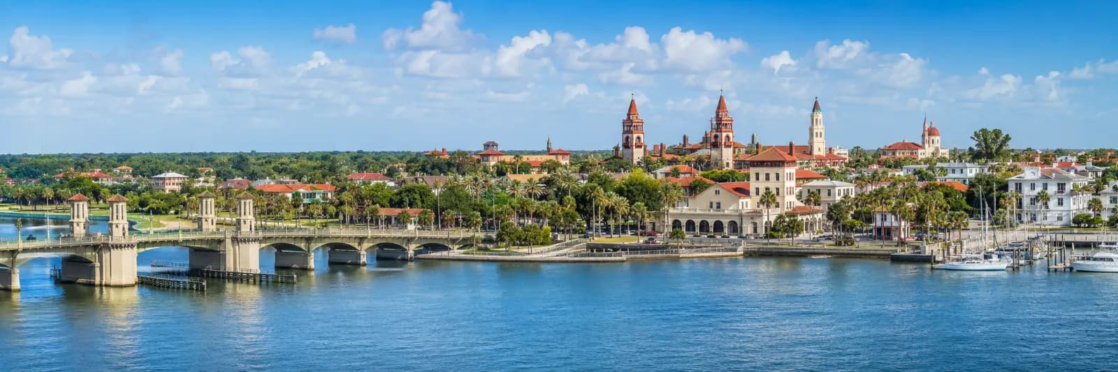
Header photo: Olga Ernst / Wikimedia Commons (CC BY-SA 4.0)
Read next

St. Augustine Sets Sept. 9 and Sept. 23 Dates to Vote on Fire Fee Hike, 7.5-Mill Tax Rate
The City Commission's FY2027 budget would keep the property tax rate at 7.5 mills but raise the fire assessment nearly 16%, along with water, garbage and stormwater fees. Two public hearings, Sept. 9 and Sept. 23, will decide it.
Read the story ↗
Comments
Your draft stays here while you sign in. Be respectful and keep it local.
No comments yet.